Gilgit was ruled for centuries by the local Trakhàn Dynasty, which ended about 1810 with the death of Raja Abas, the last Trakhàn Raja.
The rulers of Hunza and Nager also claim origin with the Trakhàn dynasty. They claim descent from a heroic Kayani Prince of Persia, Azur Jamshid (also known as Shamsher), who secretly married the daughter of the king Shri Badat. She conspired with him to overthrow her cannibalfather.Sri
Badat's faith is theorised as Hindu by some and Buddhist by others.However, considering the region's Buddhist heritage, with the most recent influence being Islam, the most likely preceding influence of the region is Buddhism. Though the titular Sri and the nameBadat denotes a Hindu origin of this ruler.
Prince Azur Jamshid succeeded in overthrowing King Badat who was known as Adam Khor(literally man-eater),often demanding a child a day from his subjects, his demise is still celebrated to this very day by locals in traditional annual celebrations. In the beginning of the new year, where a Juniper procession walks along the river, in memory of chasing the cannibal king Sri Badat away
Azur Jamshid abdicated after 16 years of rule in favour of his wife Nur Bakht Khatùn until their son and heir Garg, grew of age and assumed the title of Raja and ruled, for 55 years. The dynasty flourished under the name of the Kayani dynasty until 1421 when Raja Torra Khan assumed rulership.
He ruled as a memorable king until 1475. He distinguished his family line from his step brother Shah Rais Khan (who fled to the king of Badakshan and with who's help he gained Chitral from Raja Torra Khan), as the now-known dynastic name of Trakhàn. The descendants of Shah Rais Khan were known as the Ra'issiya Dynasty
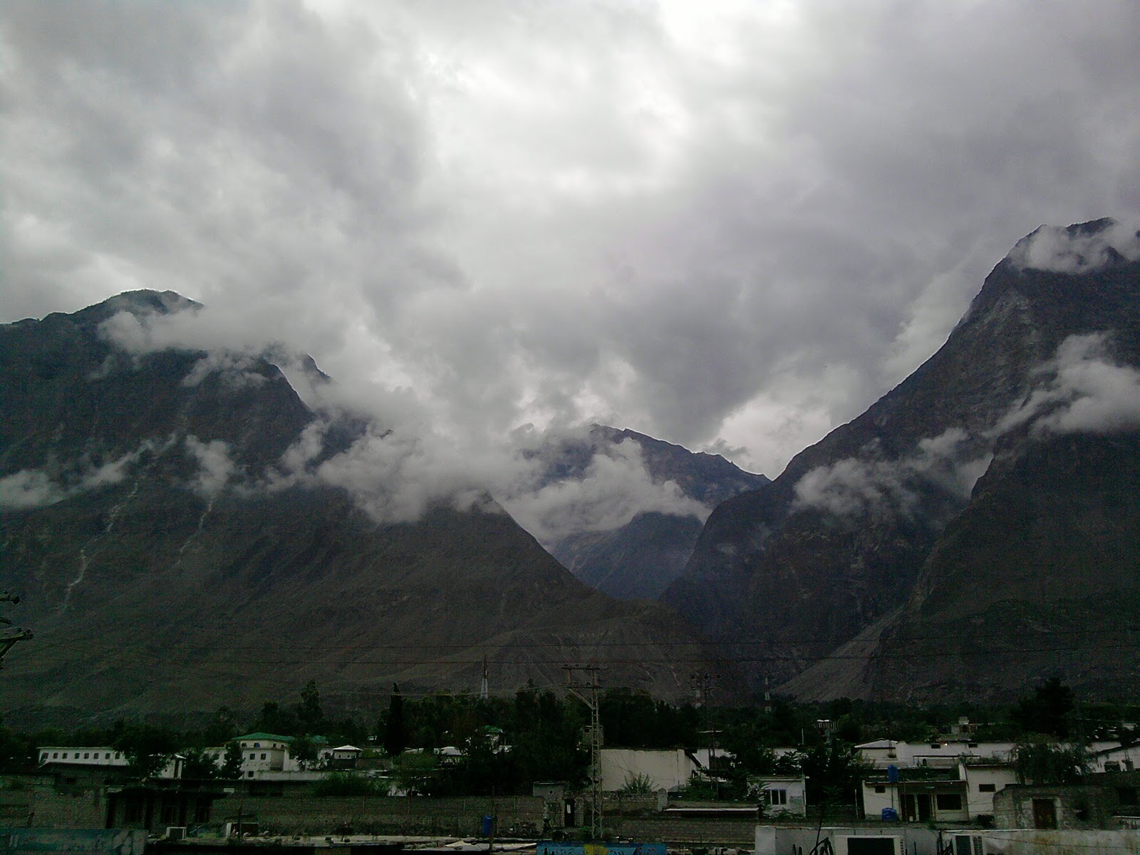
The area had been a flourishing tract but prosperity was destroyed by warfare over the next fifty years, and by the great flood of 1841 in which the river
Indus was blocked by a landslip below the Hatu Pir and the valley was turned into a lake.
[13] After the death of Abas,
Sulaiman Shah,
MUSHI at Lafeef Market, JUtial
The Sikh general, Nathu Shah, left garrison troops and Karim Khan ruled until Gilgit was ceded to Gulab Singh of Jammu and Kashmir in 1846 by the Treaty of Amritsar, and Dogra troops replaced the Sikh in Gilgit.
Nathu Shah and Karim Khan both transferred their allegiance to Gulab Singh, continuing local administration. When Hunza attacked in 1848, both of them were killed.
Gilgit fell to the Hunza and their Yasin and Punial allies, but was soon reconquered by Gulab Singh's Dogra troops. With the support of Gaur Rahman, Gilgit's inhabitants drove their new rulers out in an uprising in 1852. Gaur Rahman then ruled Gilgit until his death in 1860,
just before new Dogra forces from Ranbir Singh, son of Gulab Singh, captured the fort and town. In 1870s Chitral was threatened by Afghans Maharaja Ranbir Singh was firm in protecting Chitral from Afghans
the Mehtar of Chitral ask for help, In 1876 Chitral accepted the authority of Jammu Clan and in reverse get the protection from the Dogras who have in the past took part in many victories over Afghans during the time of Gulab Singh Dogra
Arif Chadda at University road,
The period of greatest prosperity was probably under the Shin Ras, whose rule seems to have been peaceable and settled.
The whole population, from the Ra to the poorest subject lived by agriculture. According to tradition, Shri Buddutt's rule extended over Chitral, Yassin, Tangir, Darel, Chilas, Gor, Astor, Hunza, Nagar and Haramosh all of which were held by tributary princes of the same family.
In 1877, in order to guard against the advance of Russia, the British Government, acting as the
suzerain power of
Kashmir, established the
Gilgit Agency.
Arif on front of Danyor
In 1935, the British demanded Jammu and Kashmir to lease them Gilgit town plus most of the Gilgit Agency and the hill-states Hunza, Nagar, Yasin and Ishkoman for 60 years.
Maharaja Hari Singh had no choice but to acquiesce. The leased region was then treated as part of British India, administered by a Political Agent at Gilgit
responsible to Delhi, first through the Resident in Jammu and Kashmir and later a British Agent in Peshawar.
Jammu and Kashmir State no longer kept troops in Gilgit and a mercenary force, the Gilgit Scouts, was recruited with British officers and paid for by Delhi. In April 1947,
Delhi decided to formally retrocede the leased areas to Hari Singh’s Jammu and Kashmir State as of August 15, 1947. The transfer was to formally take place on August 1.
Gilgit Scouts progressed with Pakistani troops from north through High Himalayas and contributed in attacking of
Skardu in summer 1948, pushing further towards
Ladakh area.
Islamabad, Gilgit, Sust and Tashkurgan, and road service between Kashgar and Gilgit (via Tashkurgan and Sust) started in the summer of 2006. However, the border crossing between China and Pakistan at Khunjerab Pass
the highest border of the world—is open only between May 1 and October 15 of every year. During winter, the roads are blocked by snow. Even during the monsoon season in summer,
the roads are often blocked due to landslides. The best time to travel on Karakoram Highway is spring or early summer.
Mushi, Kami and Shabbir at Jutial nala
Shafqat at Jutial nala
Naltar Valley with Naltar Peak, Hunza Valley, Nagar Valley, Ferry Meadows in Raikot, Shigar town, Skardu city, Haramosh Peak,
Kami and friend at Jutial Nala
in Karakoram Range, Bagrot-Haramosh Valley, Deosai National Park, Astore Valley, Rama Lake,Juglot town,
Phunder village, Yasin Valley and Kargah Valley.
Shafqat swiming in Jutial Nala
Jutial is the developed residential scheme of Gilgit city, Jutial is like new Gilgit city which have a huge population. Jutial is divided in some different sectors and sub sectors which are known as upper Jutial and lower Jutial, Satellite Town, Yaseen colony, Lalik Jan colony are located in upper Jutial while Khomer, Ayoub colony, Zulfiqarabad, Wahdat colony, Cheeta colony and Sonikot are located at lower Jutial. Gilgit-Baltistan legislative assembly, Gilgit-Baltistan Secretariat, UNMOIP(United Nation Military Observers between Pakistan and India ), Radio Pakistan, FCNA (Force Commander Northern Areas), and famous School and College of Gilgit-Baltistan also located at Jutial.
Jutial Gilgit